

Stephens Shire
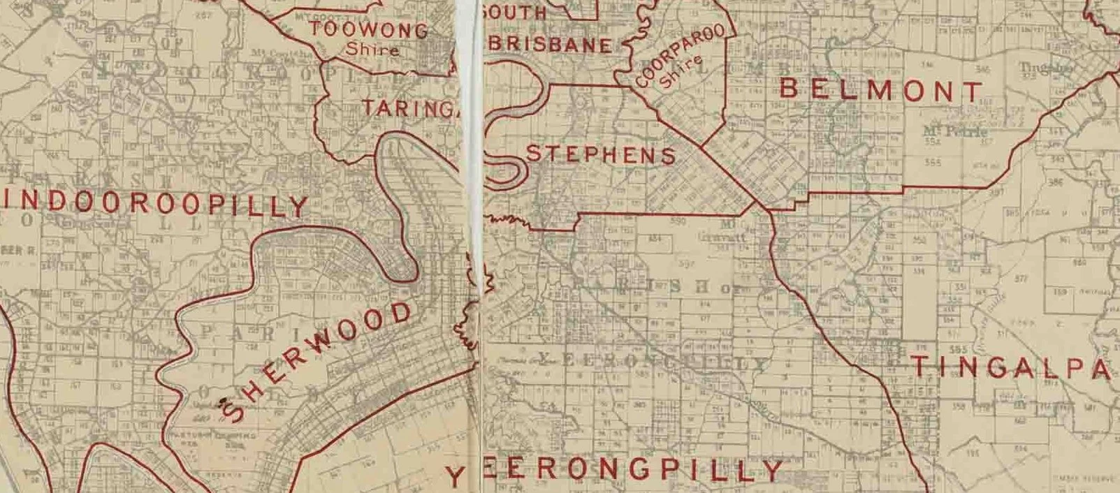
Map of Stephens Division and adjacent local government areas, March 1902
Queensland Survey Office - Queensland, illustrating Local Authorities Districts, Queensland. Survey Office, 1902,
Named after Queensland's first Premier, Robert George Herbert, Stephens Shire was formed in 1886 and lasted until 1925. Situated to the south of Brisbane, it encompassed areas like Moorooka, Salisbury, and Coopers Plains. Stephens Shire's history is marked by a mix of agricultural land use, particularly market gardens, and the gradual encroachment of suburban development. The presence of significant industrial activity in some parts of the shire also played a role in its evolution.